

Descripción
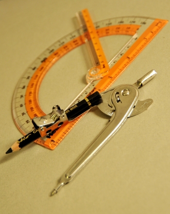
Sailors and travelers have used Polaris, also known as the North Star, for centuries to locate their position on the surface of the Earth. Polaris is the brightest star in the constellationUrsa Minor, whose seven brightest stars form the Little Dipper. Polaris is the brightest star at the end of the tail of the Little Dipper and is useful because it is the only starthat does not appearto move in relation to a specific location on Earth. Polaris cannot be seen from south of the equator.The altitude of a star is the measurement in degrees of the angle of the star above the horizon. Flat out on the horizon is 0° and straight up in the sky is at 90°, which has a special name, the zenith.
It is an educational content by education.com.
By clicking on the title of this resource, you will be redirected to the content. If you want to download the project, you just have to join the website, which now is for FREE.
Authors
Author Erin Bjornsson
Categories Ficha para imprimir, 8-10 años, Experimento/Práctica, Física, Science Fair - Education, Inglés add
Tags add
Publication date 27 / 08 / 2020
License The original license is kept.
Do you want to comment? Sign in
Use the Altitude of Polaris to Find Latitude
Comments
mode_comment0