

Descripción
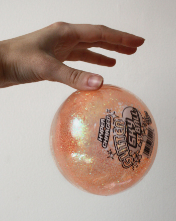
Despite what early explorers thought, the world is definitely not flat!This includes land masses and the ocean floor.Just as there are mountains, valleys, and plains on dry land, the ocean floor is comprised of long mountain chains, deep trenches, and flat plains.Topographic maps are used to provide information about different land elevations.Measuring the depth of the ocean to the ocean floor can be done through sonar mapping.Sonar mapping measures how long it takes sound waves to travel through the water to the ocean floor and back to the surface.In this investigation, a high-bouncing ball will be used to demonstrate how sound waves measure the depth to the ocean floor.
It is an educational content by education.com.
By clicking on the title of this resource, you will be redirected to the content. If you want to download the project, you just have to join the website, which now is for FREE.
Autores
Autor Angela Pike
Categorias 6-8 años, Ficha para imprimir, Geología, 8-10 años, Experimento/Práctica, Science Fair - Education, Inglés add
Tag add
Data de publicação 27 / 08 / 2020
Licença Respeita a licença original do recurso.
Deseja fazer um comentário? Iniciar sessão
Understanding Sonar Mapping of the Ocean Floor
Comentários
mode_comment0